Stepping through our history of excellence in surveying
Learn More

2025
We provide precise, reliable, and clearly communicated geospatial data that empowers engineers, designers, builders, and decision makers. Guided by professionalism and integrity, we deliver high quality surveys using modern technology, safe working practices, and industry aligned methodologies
To become a trusted national partner for geospatial and utility surveying, recognised for accuracy, innovation, and exceptional client service. We aim to raise industry standards by championing best practice, transparency, and continuous professional development.
To simplify complex data for our clients and ensure every project—large or small—is supported with clear, dependable, and actionable information.
2025

GL Mapping Ltd founded
Established with a commitment to technical accuracy, transparent reporting, and a modern approach to surveying.
Service expansion & technology integration
Introduced advanced GPR systems, 3D laser scanning, and enhanced digital workflows to support a wider range of project requirements.
New survey capability development
Rolling out expanded utility mapping, UAV surveying, and geospatial consultancy offerings.
Client focused growth
Continuously investing in training, technology, and industry best practice to offer dependable, future ready geospatial solutions.

Our Core Values
Accuracy as Standard
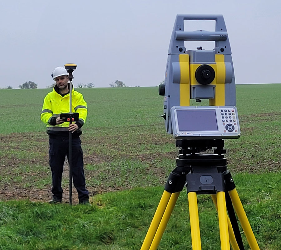
We use professional grade survey equipment—total stations, GNSS, GPR, laser scanners, and UAV systems—to ensure reliable, verifiable data outputs.
Integration & Collaboration
Our workflows integrate smoothly with engineering, design, BIM, GIS, and construction processes, providing clients with data they can use immediately.
Responsible Operations
We prioritise safety, efficiency, and environmentally conscious working methods across all projects.
Quality Assured
Every deliverable undergoes structured review and quality checking to ensure clarity, consistency, and compliance with recognised survey standards.
Our Expertise
25+ Years
Advanced Technology
Multi Sector Capability