
Discover our core surveying services designed to support construction, engineering, and infrastructure projects with precise geospatial data. Whether you're planning, designing, or building, we deliver the clarity and confidence you need to move forward.


Comprehensive drainage inspections using crawler and push rod camera systems.Includes defect reporting, mapping, manhole schedules, and condition grading.
Accurate surveys for highway and drainage adoption, ensuring full compliance with local authority and water company standards.
Advanced GPR scanning to detect underground utilities, voids, buried structures, and non metallic assets.
Gathering, verifying, and consolidating statutory utility records into a clear, unified pack to support feasibility, planning, and excavation safety.
Integration of topographical, utility, drainage, and structural data into combined CAD drawings or GIS datasets, providing a single coordinated view of your site.
Aerial photogrammetry, LiDAR, orthophotos, inspections, and wide area mapping.Ideal for large, complex, or inaccessible sites requiring rapid and safe data capture.
Survey support for geotechnical investigations, including setting out trial holes, boreholes, window samples, and establishing accurate survey control.
Specialist surveys for live substations undertaken by authorised staff with the required safety clearances. Our datasets support planning, asset management, redevelopment, and engineering design with high‑confidence accuracy.

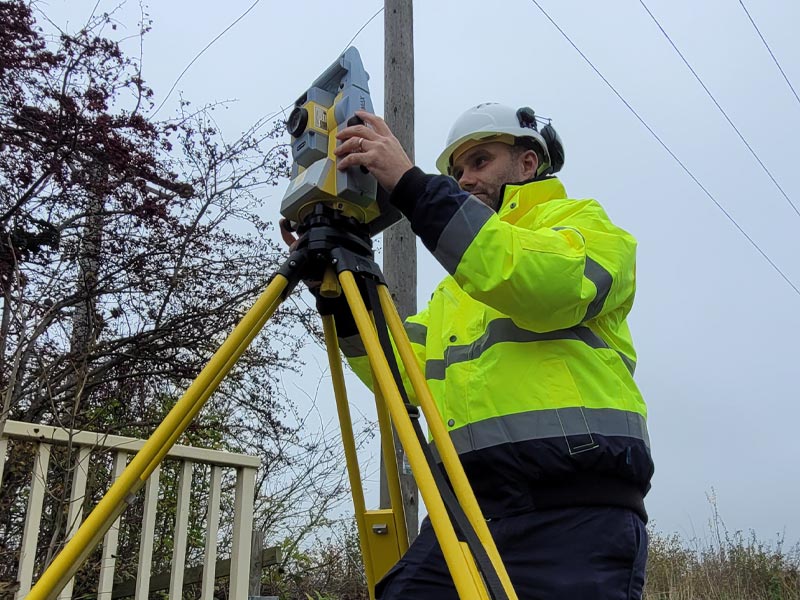
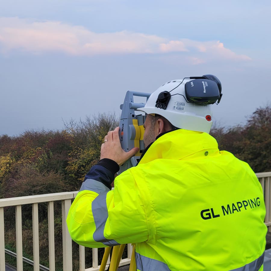
High accuracy data using the latest survey technology
Clear, professional deliverables tailored to your project needs
Flexible availability and efficient turnaround times
Fully accredited, insured, and safety focused
