Accurate internal & external measurements for architecture, design, planning, and refurbishment.
Our Measured Building Surveys provide precise, detailed, and clearly presented information on the structure, layout, and features of buildings. Whether for redevelopment, architectural design, heritage preservation, planning approval, or refurbishment works, our surveys deliver an accurate digital representation of your property.
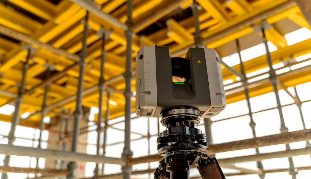
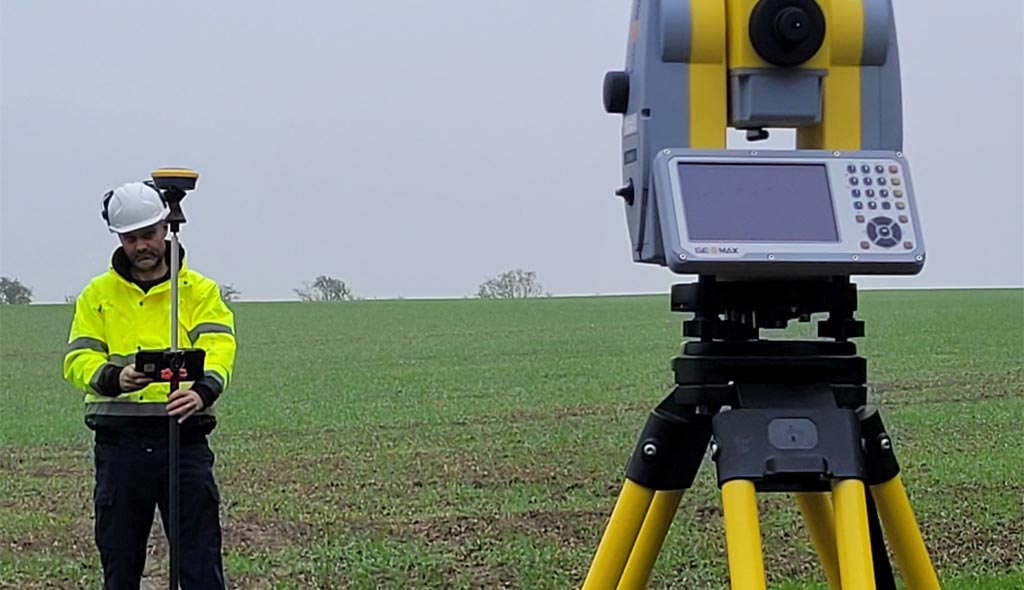
Using advanced technology such as 3D laser scanning, total stations, GNSS, and high resolution point clouds, we produce reliable floor plans, elevations, sections, and 3D models tailored to your project requirements.
Every building is unique — which is why we design every survey specification around the detail level you need.
Our Measured Building Surveys include:
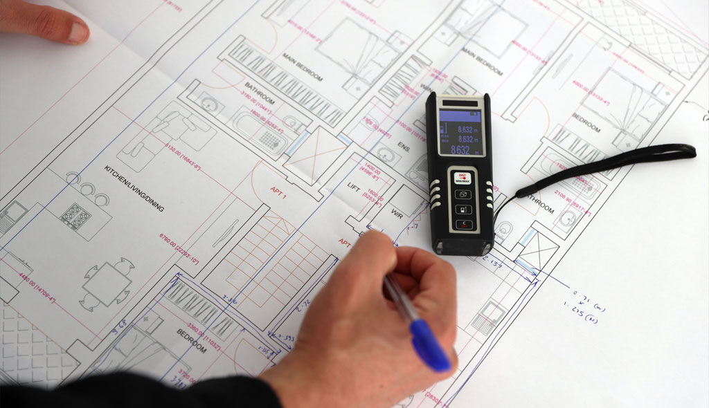
Precise room dimensions, wall positions, door and window openings, levels, heights, fixtures, and structural elements.
Accurate external elevations showing façade details, architectural features, openings, materials, and heights.
Vertical sections through key parts of the building to support structural design, planning, and visualisation.
High density point cloud capture for complex, historic, or irregular buildings, ensuring millimetre level accuracy.
Creation of detailed 3D Revit models for architects and designers looking to integrate survey data directly into their workflows.
We discuss your needs, accuracy requirements, and preferred deliverables to define the correct level of detail.
Using 3D laser scanners, total stations, GNSS, and photography to capture all internal and external features.
Point cloud registration, CAD drafting, model building, and verification.
Floor plans, elevations, sections, and 3D models delivered in DWG, PDF, DXF, RVT, or point cloud formats.
Our surveys eliminate guesswork, ensuring designers and contractors have reliable building information.
Laser scanning captures every detail, providing an accurate baseline for current and future works.
Accurate drawings help reduce design errors, rework, and unforeseen clashes during renovation or construction.
From basic plans to full 3D BIM models — we match the survey to your project needs.
Measured building surveys completed by the leadership team.
Expertise in point cloud capture, registration, and detailed drafting.
Optional 3D and Revit modelling for architects and design consultants.
We combine traditional surveying principles with modern laser scanning technology to deliver measured building surveys that are accurate, clear, and tailored to your requirements. Our experience covers residential properties, commercial buildings, industrial sites, public sector buildings, and heritage structures.
From single dwellings to large multi storey facilities, GL Mapping Ltd provides high quality building documentation that supports confident design and planning decisions.