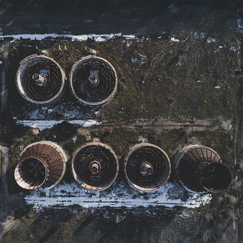

Precision Mapping for Smarter Decisions
We deliver high accuracy land and infrastructure surveys using cutting edge technology and deep industry expertise. Our data empowers construction firms, engineers, architects, and local authorities to plan, build, and manage assets with confidence.
Discover our servicesAccreditations


Precision engineering services


Advanced Capabilities for Exceptional Results
01
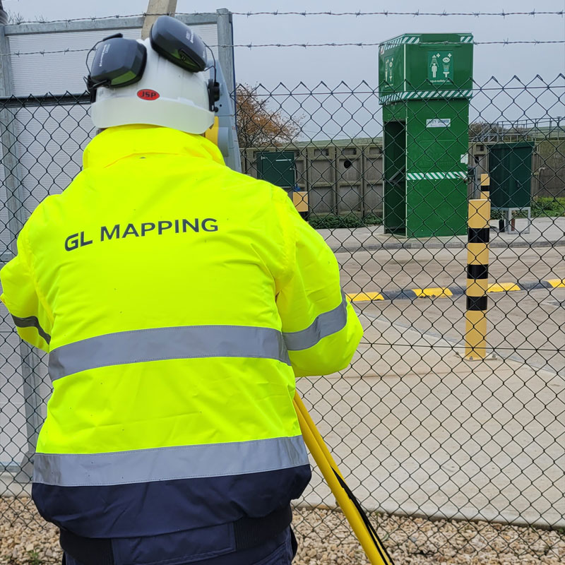
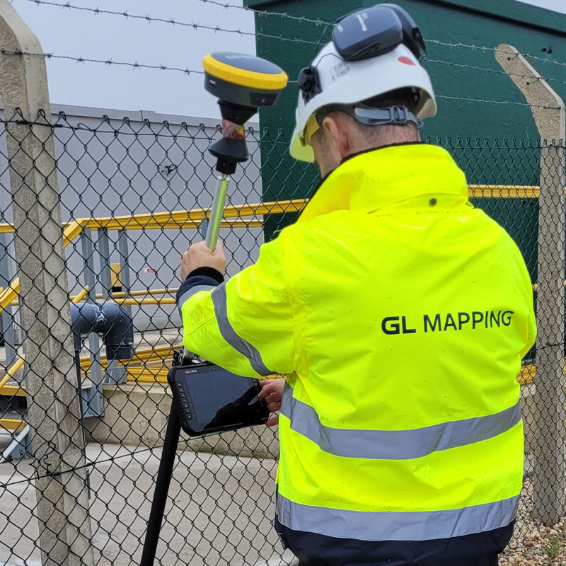
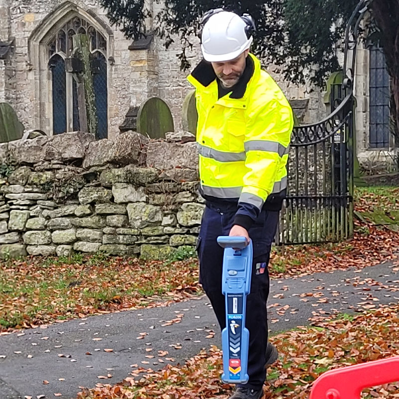
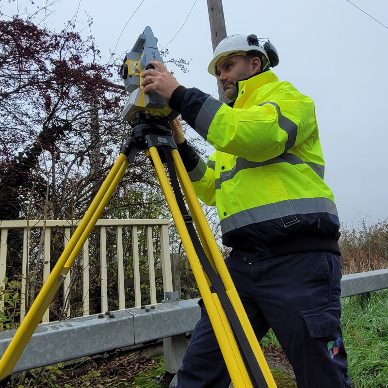
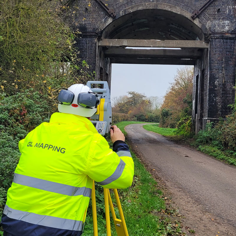
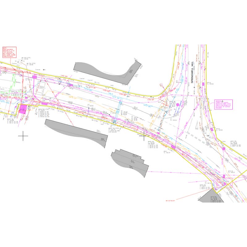
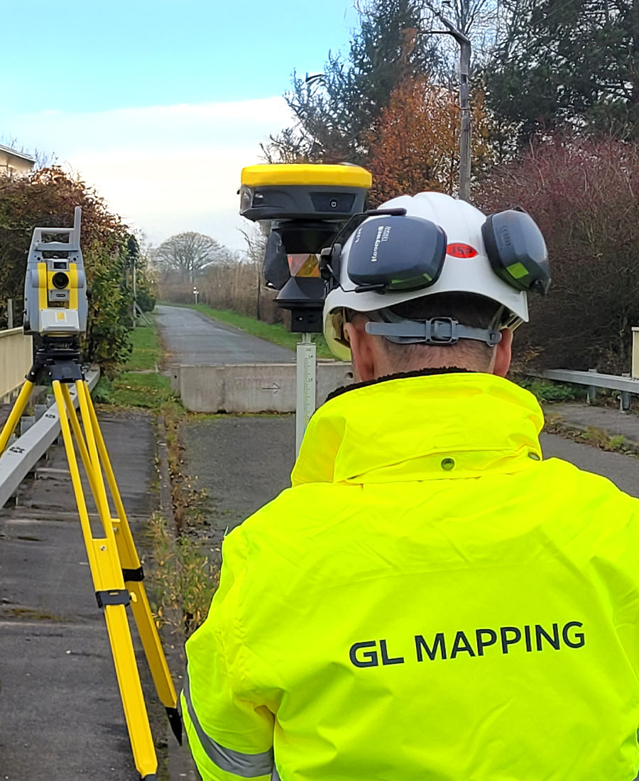
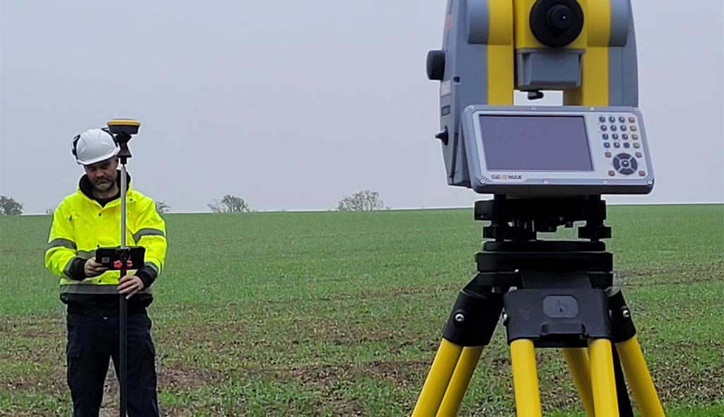
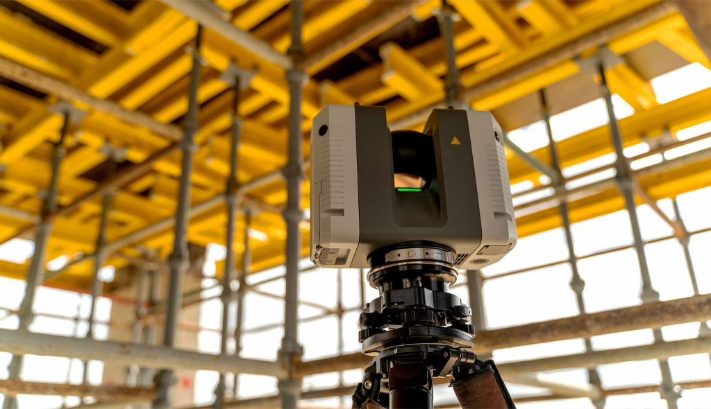
High Precision Survey Equipment
Our teams use the latest robotic total stations, GNSS, laser scanners, and GPR systems to collect data with exceptional accuracy.
02
Integrated Digital Workflows
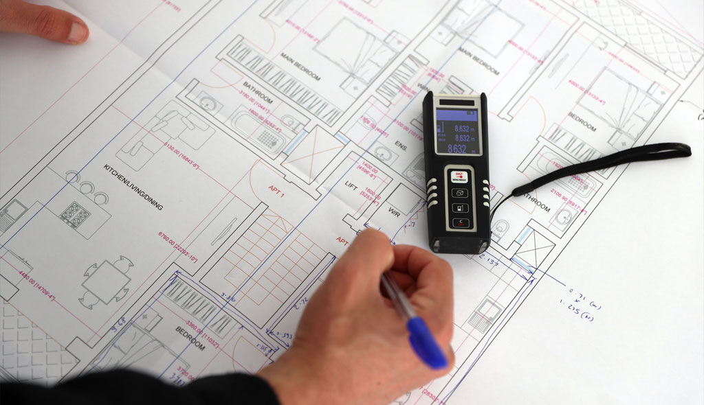
We streamline deliverables using CAD, BIM, GIS, and industry standard digital formats tailored to your project needs.
03
Safe & Sustainable Operations
We maintain rigorous site safety procedures and use efficient technologies that reduce repeat visits and environmental footprint.
04
Real Time Data Capture & Verification
On site validation ensures survey data is consistent, reliable, and ready for immediate use by your project teams.

25+
Years combined industry experience


Our expertise and experience in the industrial sector
Trusted by Industry Professionals
Experience supporting construction, engineering, utility, and design projects across the UK.
Fully Accredited
Qualified survey leadership with memberships includingMCInstCES and AssocRICS.
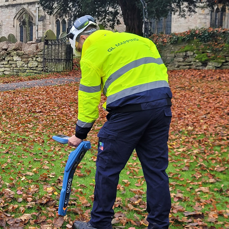
Advanced Technology
Utilising modern GPR, GNSS, UAV, and 3D laser scanning systems for high accuracy data.
Multi Disciplinary Capability
Expertise across utility mapping, topo surveys, 3D scanning, PAS 128, GIS, and measured building surveys.
Quality Focused Delivery
Survey outputs produced to national standards and tailored to engineering, planning, and design workflows.
Client Centred Approach
Clear communication, reliable reporting, and efficient project turnaround as core service principles.
Nationwide Coverage
Flexible mobilisation throughout the UK for projects of any scale.

Reach out — we’re here to support your project.
Head Office
Contact detail:


3rd Floor, 86-90 Paul Street, London, EC2A 4NE
Additional offices located in Newark-on-Trent and Northampton
Schedule a call