Accurate, compliant subsurface mapping for safer and more efficient design and construction.

Our PAS 128 Utility Detection Surveys provide reliable, high accuracy mapping of underground utility infrastructure. Using a combination of Electromagnetic Locating (EML), Ground Penetrating Radar (GPR), and detailed site observation (DSO), we deliver clear and dependable data that reduces project risk, supports safe excavation, and ensures full compliance with industry standards.
PAS 128 is the recognised UK specification for underground utility detection. Our surveys are delivered in accordance with its requirements, ensuring consistent quality, traceability, and confidence in the results.
Whether you're planning excavations, designing utilities, preparing for construction, or managing existing assets, our surveys provide the subsurface clarity you need.
Our PAS 128 compliant methodology includes:
A full desktop evaluation of statutory records, previous surveys, and site-specific constraints to inform the detection strategy.
All detection data is analysed, correlated, and modelled to produce an accurate representation of underground utility routes, depths, and confidence levels.
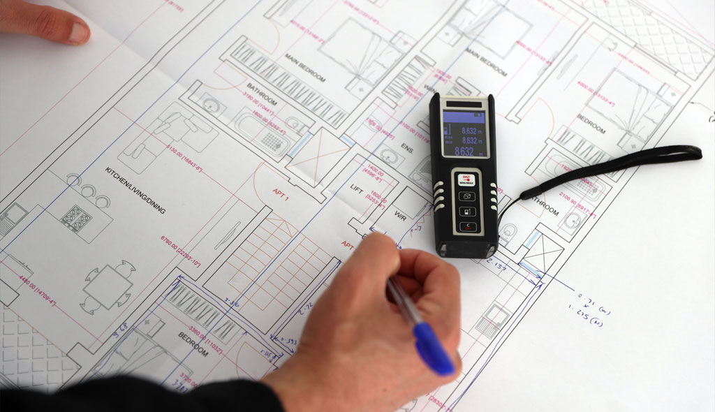
You receive a CAD or GIS utility model showing:
Review of existing data, utility records, client specifications, safety requirements, and project constraints.
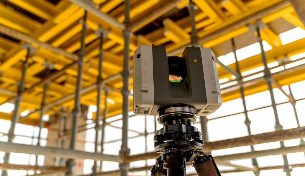
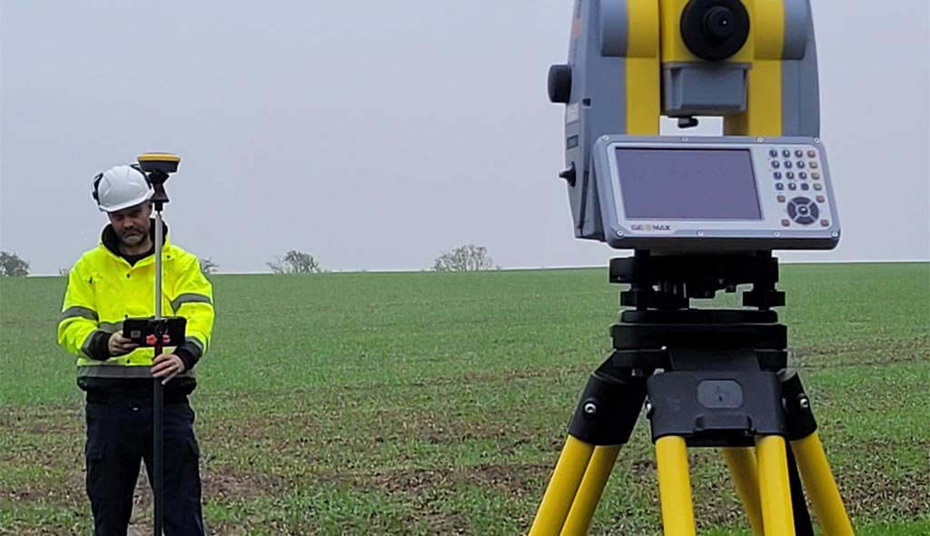
Deployment of EML, GPR, and visual inspection techniques to capture all available utility information.
Data cross checking, interpretation, and production of a structured, PAS 128 compliant utility map.
Fully coordinated drawings, models, and reports delivered in DWG, DXF, PDF, or GIS formats.
Minimise excavation strikes and costly delays with accurate subsurface intelligence.
Work confidently with data aligned to the UK’s recognised utility survey standard.
Clear understanding of utility positions helps safeguard workers and protects critical infrastructure.
Confidently plan routes, diversions, and infrastructure upgrades based on verified information.
Avoid redesigns, rework, and utility clashes by identifying risks early.
(Credible and suitable for a new but experienced consultancy)
Utility surveys delivered by our leadership team across commercial, residential, and infrastructure projects.
Certified and experienced surveyors specialising in underground utility mapping.
Modern digital systems for improved clarity, depth accuracy, and interpretation.