High precision 3D data capture using terrestrial laser scanning, UAV LiDAR & aerial photogrammetry.
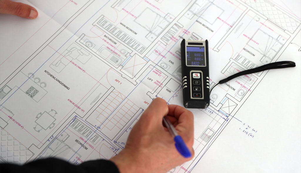
Our Laser Scanning and 3D Modelling services provide accurate, high density 3D spatial data for buildings, structures, landscapes, and complex environments. Using industry leading terrestrial laser scanners, UAV mounted LiDAR systems, and photogrammetry, we generate detailed point clouds and 3D models that support design, engineering, planning, and asset management.
These advanced capture methods are ideal for projects requiring millimetre level accuracy, rapid data collection, or safe access to complex or hazardous areas.
Whether mapping a building interior, a structural façade, a heritage site, or a wide area topographical environment, we deliver dependable and visually rich 3D data tailored to your project needs.
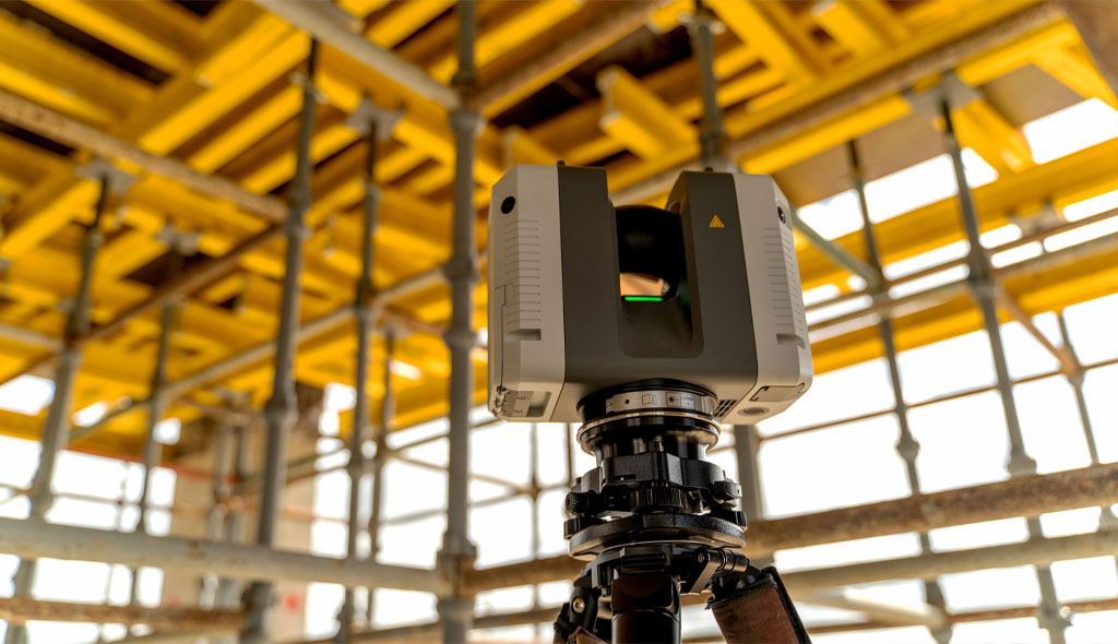
High accuracy 3D laser scanning captures millions of measurement points per second, producing a complete 360° digital representation of your site.
Ideal for:
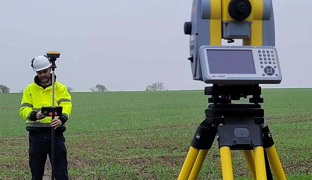
Our UAV LiDAR systems provide highly accurate 3D mapping over large or inaccessible areas. LiDAR penetrates vegetation and generates precise Digital Terrain Models (DTMs), even in complex environments.
Ideal for:
High resolution UAV imagery is processed into textured 3D models, orthophotos, and surface models.
Ideal for:
From point clouds, we produce:
All outputs can be tailored to your required level of detail (LOD) or BIM specification.
We define the correct capture method — TLS, UAV LiDAR, photogrammetry, or a hybrid workflow — based on your accuracy and coverage requirements.
Using calibrated scanners, UAV platforms, and GNSS supported workflows, we gather high density 3D datasets.
Point clouds are aligned, cleaned, geo referenced, and quality checked to ensure consistency and accuracy.
Final outputs supplied in your preferred formats:
Millimetre level precision from trusted survey grade laser scanning & LiDAR systems.
UAV systems reduce risks by capturing inaccessible or hazardous areas from the air.
A complete digital record — ideal for future re use without revisiting site.
Perfect for architecture, engineering, planning, monitoring, and visualisation.
Rapid capture and streamlined processing ensures fast project turnaround.
Combined terrestrial laser scanning, UAV LiDAR, and photogrammetry workflows.
Leadership experience delivering 3D models, point clouds, and BIM ready outputs across multiple sectors.
Internal, external, urban, rural, structural, and wide area survey capability.
We deliver accurate, efficient, and future ready 3D data using a powerful combination of terrestrial laser scanning, UAV LiDAR, and aerial photogrammetry. This multi method approach ensures the right tool is used for each environment, producing highly detailed and dependable outputs for architects, engineers, planners, and asset owners.
Whether you require a detailed building model, a large scale terrain survey, or a complete digital twin, GL Mapping Ltd provides clear, professional 3D data you can trust.